 |
Table Mountain/Holy Joe Peak Country of Southern Arizona | |
|
Table Mountain/Holy Joe Peak Country of Southern Arizona | |
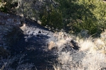
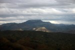
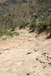
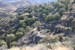
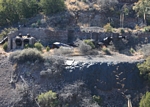
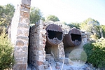
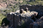
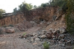
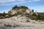
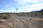
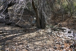
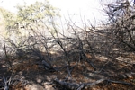
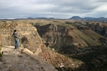
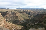
Vehicular access into the country between Table Mountain/Holy Joe Peak and the Aravaipa Canyon Wilderness these days is limited to two roads. One can drive into the area by the way of Turkey Creek from the north or from the area of Copper Creek to the south. The road from Copper Creek was constructed in the late 1970's/early '80's to access the Table Mountain Mine. Approach from either direction requires a vehicle that is properly prepared for rough and rugged travel. As one ventures north from Parson's Grove, the roads become even more primitive. The crossing of Virgus Canyon is particularly rocky and brushy. The Aravaipa Canyon Wilderness comes up from Aravaipa Creek and extends over the rim to the south a fair distance. The road across Virgus Canyon and over to the old road down into the Woods Ranch seems to mark the southern edge of the wilderness. But there is at least one road that is "cherry stemmed" into the wilderness that does allow access to the rim of the Aravaipa Canyon from which views of Aravaipa Creek can be had. Other roads are outside the Wilderness.
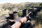
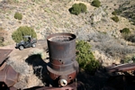
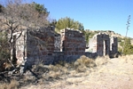
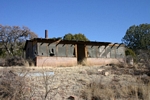
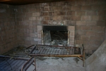
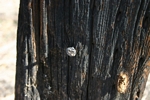
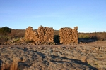
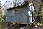
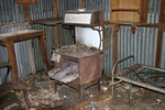
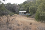
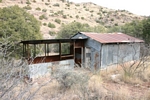
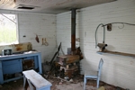
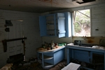
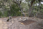
It had been since the early 1980's that I was in the area the last time. So 25 years or so was time enough to return to see what was up. On this trip we took my brother in law's Rhino rather than one of our regular 4wd vehicles. That proved to be our advantage. The Rhino is very smooth riding and very maneuverable. We spent three full days exploring from the mine site out to the Aravaipa rim and then westward across Virgus Canyon and onward. We did not go down to the Aravaipa. Surprisingly, the mine site seemed pretty similar, with a couple of exceptions, to what I had remembered from our much earlier visits. Parson's Grove was now abandoned. In years past it had been kept up.
(Click on photos to enlarge)
|
 |
 |
 |
 |
 |
 |
 |
 |
|
 |
 |
 |
 |
 |
 |
 |
 |
 |
 |
 |
 |
 |
 |
 |
 |
 |
 |
 |
 |
 |
 |
 |
 |
| Trips |
| Home |