 |
The Old United States Vanadium Development Co. Mine(Grey Horse Mine)
|
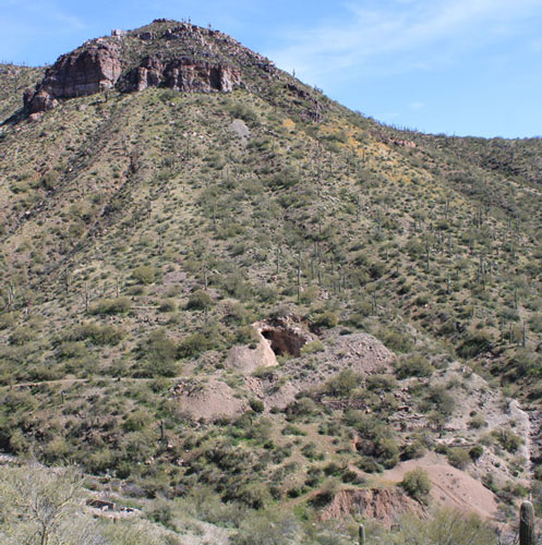
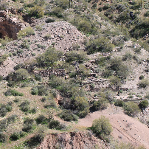
The old United States Vanadium Development Company mine is located approximately 4 miles northwest of Kearny in central Arizona. The co-ordinates of the mine site are: N33° 06' 41.79" and W110° 54' 18.56". Today, the mine is known as the Grey Horse Mine and is a popular destination for 4 wheelers. I had been to the site many years ago, but several old photos and a map that had been drawn in 1917 provided enough motivation for a return visit.
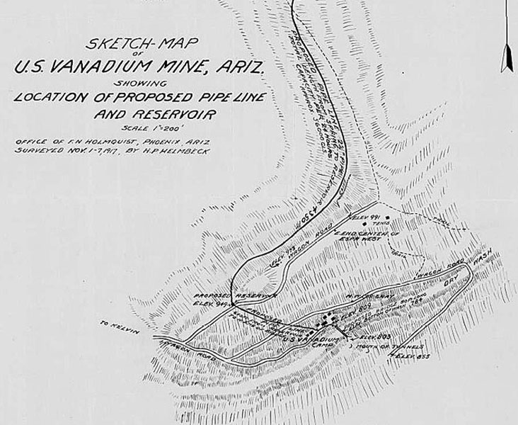
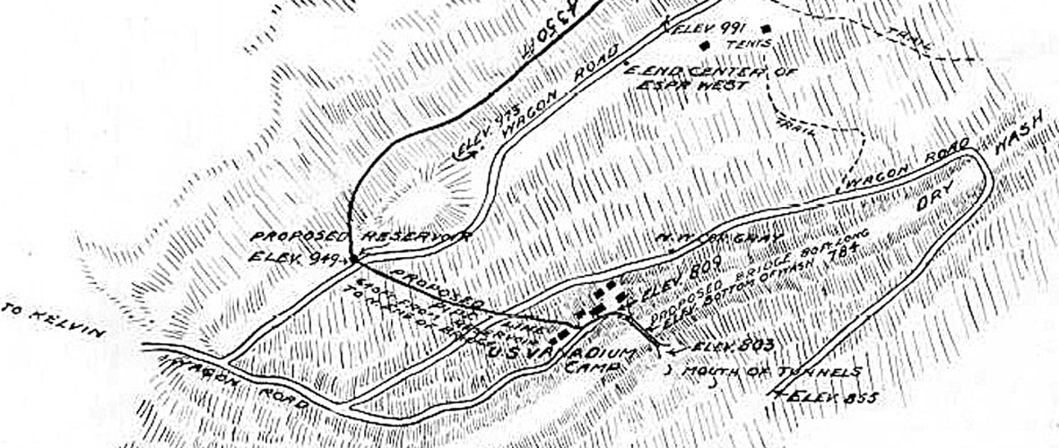
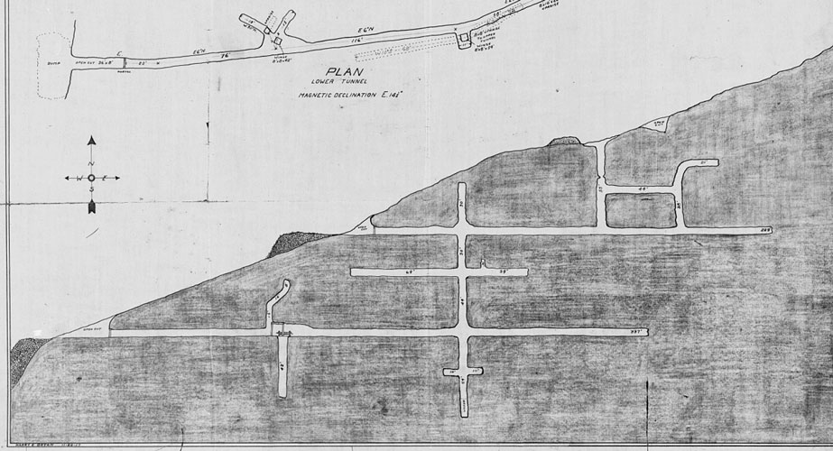
The 1917 map was drawn to show the proposed route of a water line and a reservoir that would be constructed to provide water for the mining camp and a mill. This is the lower half of that document. While I originally planned to check out both the mine and the water system in one trip, that proved to be too much of an undertaking. Two trips were required to get to both halves of the map.
 |
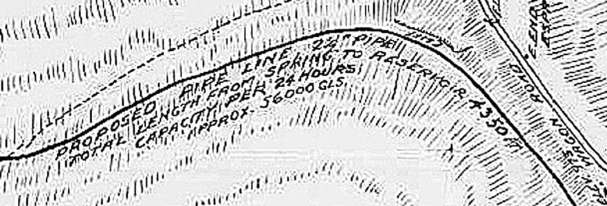
A particularly interesting notation was that the water source would have the capacity to produce 56,000 gallons of water in a 24 hour period! I have not been able to confirm that level of flow, but several newspaper articles reported that there were strong flowing springs on the mine property. Those articles noted flows of 24,000 gallons in a 24 hour period. That still seems pretty impressive.
 |
In addition to showing the proposed work to be accomplished, the layout of the mine camp was noted.
 |
In 1918, an Arizona Republican newspaper article noted that the water delivery system had been completed. The construction of a 50 ton mill had also been accomplished.
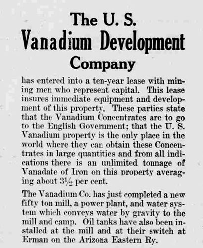 |
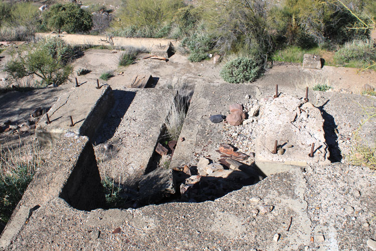
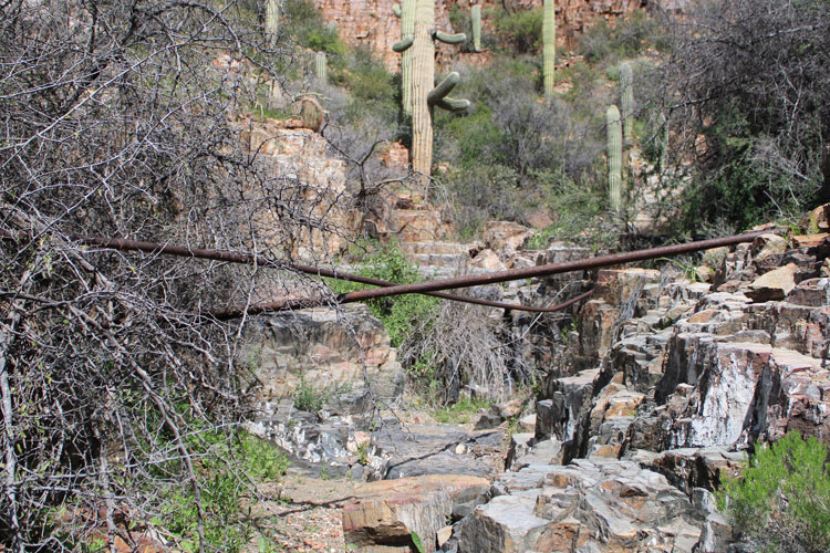
This photo of the mill appeared in a December 1919 issue of "Engineering & Mining Journal". The bridge that had been proposed in 1917 was in place.
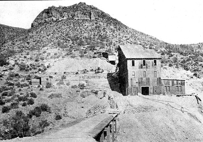 |
In March of 2020, this was the view across to the old mill site.
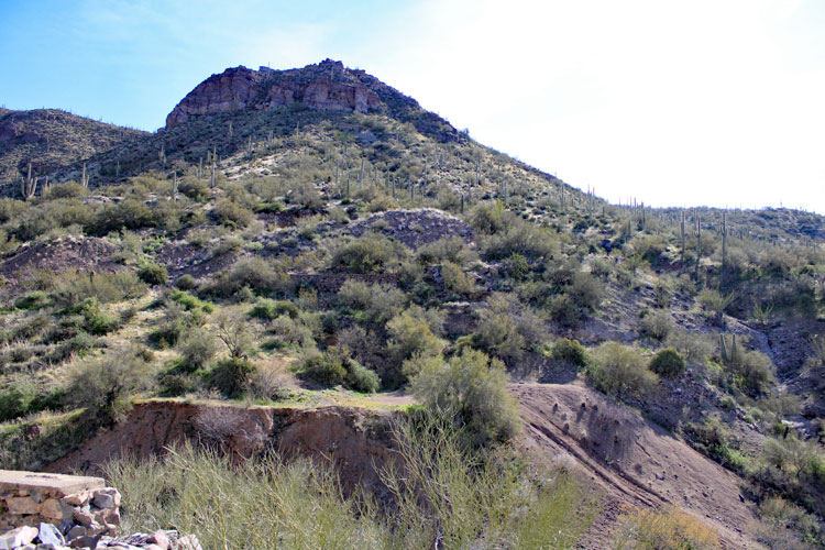 |
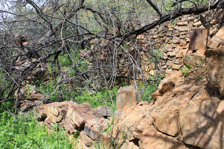
All that remains of the old bridge are these stone and concrete piers.
 |
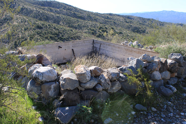
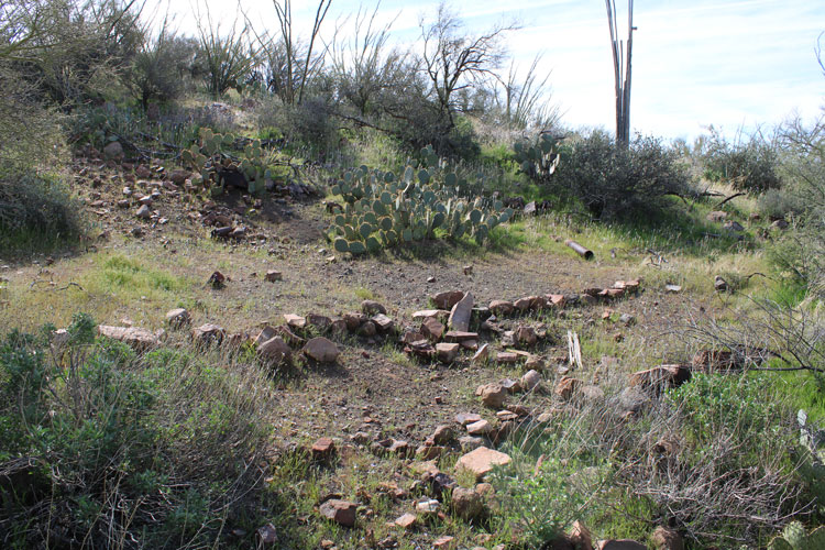
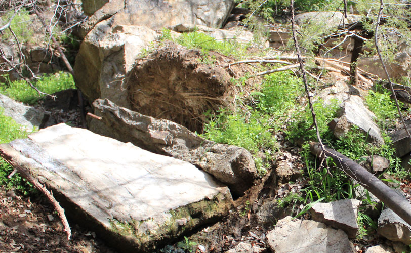
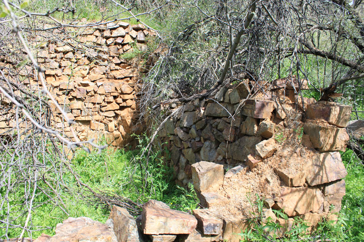
The mill foundations were more visible from a slightly higher elevation.
 |
The mill equipment was provided by the Minerals Recovery Company of Denver Colorado. That company was chosen after a working display of their equipment had been set-up at the 1917 Arizona State Fair. Several mining handbooks reported that the "Bryan dry sizing and concentrating process was used". If the specific equipment was known, a better understanding of the old foundations could be had. A map from the 1920s indicated that a stamp mill was located here. I do not know if that is accurate.
 |
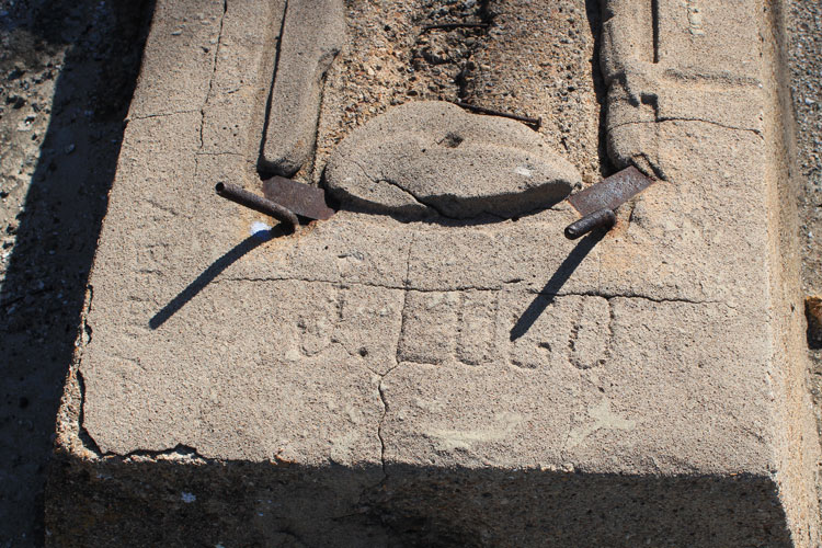
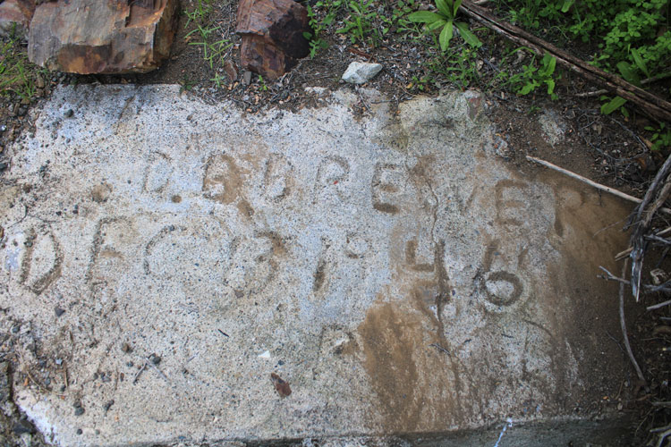
"J. Lugo" and "A. Bedoya" left their names engraved in the concrete foundations.
 |
These storage tanks appeared to the left of the mill building in the old photo. Were they a secondary storage facility for the mill water?
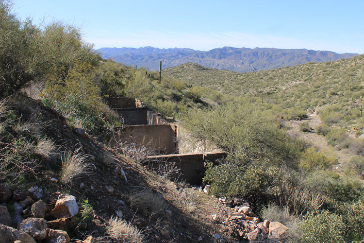 |
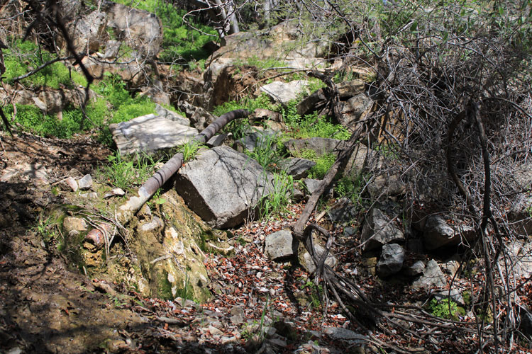
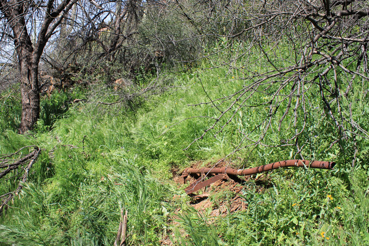
As shown on the old map, the water reservoir was constructed on the ridgeline above the camp. A section of the water line that connected to the camp and the mill is visible on the hillside below.
 |
 |
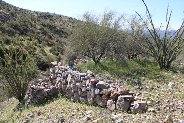
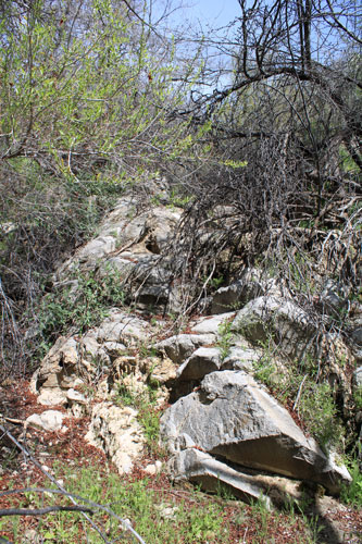
In the area of the camp that is shown on the early map, there are quite a few terraces edged with stone retaining walls. These platforms may have once been the sites for small wood frame buildings or tents.
 |
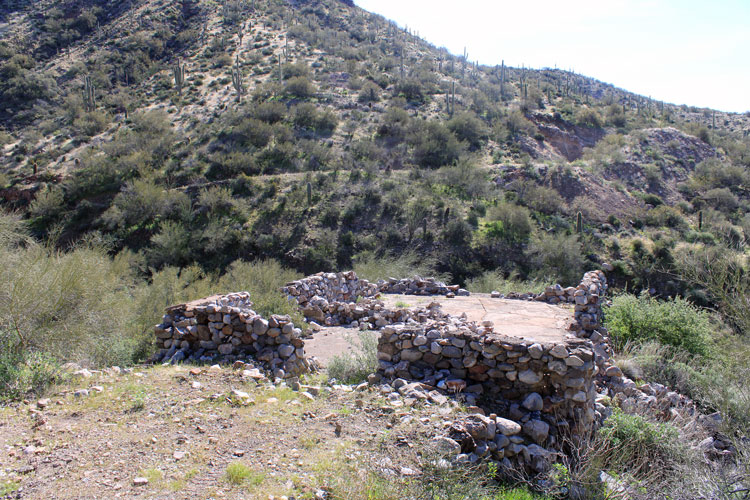
This structure must have been important. It had a concrete floor.
 |
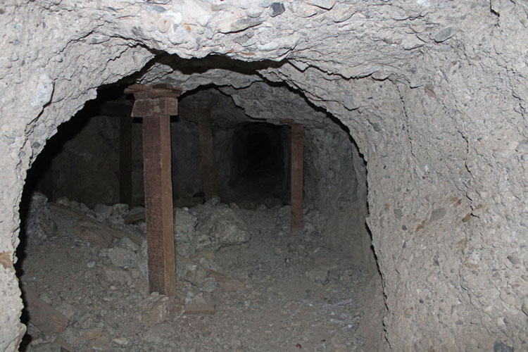
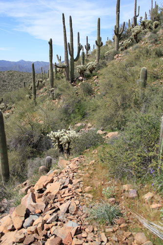
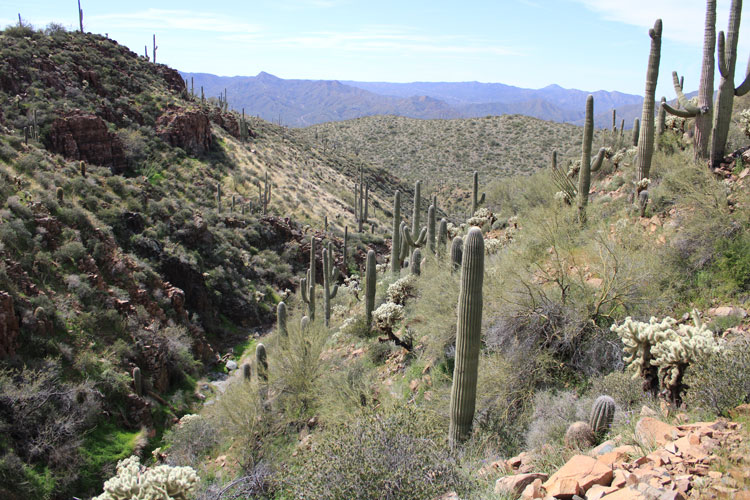
As for the mine itself, development occurred on several levels. In modern times, rockhounders have come to the old mine in search of vanadinite and wulfenite specimens.
 |
This is the current status of a section of the lower tunnel.
 |
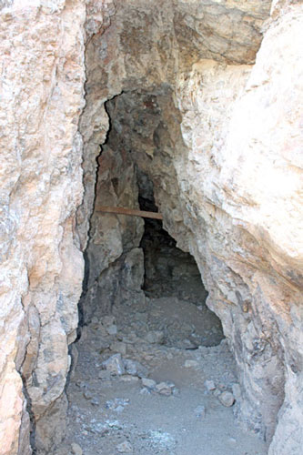
At the mouth of the upper tunnel, the ore vein is visible in the roof.
 |
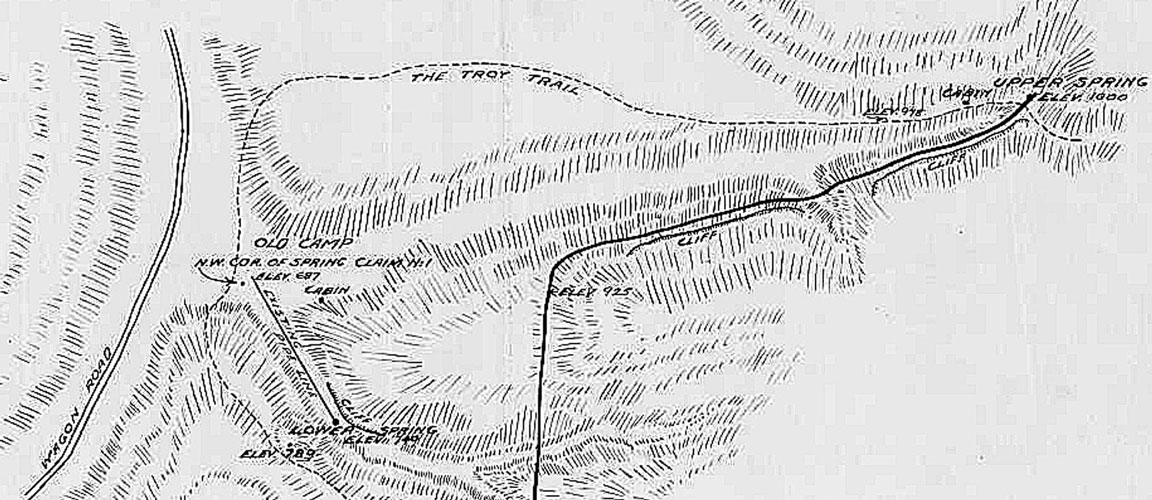
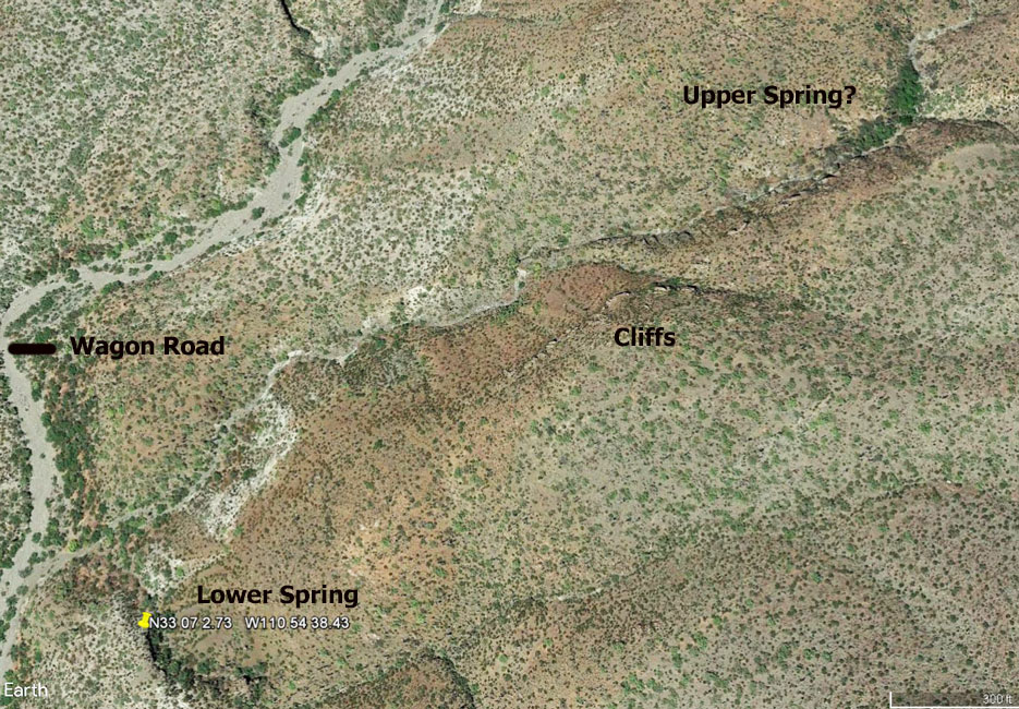
As mentioned above, the source for the water delivery system seemed like it could be an interesting place to visit. This is the upper portion of the old 1917 map. The plan was to connect "Upper Spring" to the camp and the mill with a pipeline of slightly more than 4000'. In 2020, the challenge was to locate that spring. Modern topo maps show only one spring located within a mile of the old mine site. Its location best matched the "Lower Spring" on the old map. So where was the Upper Spring?
.
 |
In a Google Earth Image of the area around the Lower Spring, there is a patch of green vegetation that can be seen to the northeast of the Lower Spring. I wondered whether that could be the location of the Upper Spring. A second trip was planned to check that out.
 |
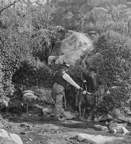
Several of the old photos that I had come across were on file with the Arizona Geological Survey and were supposed to be associated with the US Vanadium Development operation. There was no information provided with the photos. I carried copies along with me to see if I might come across the locations where they had been taken. One of the photos showed a fellow dipping out a cup of water from a spring.
 |
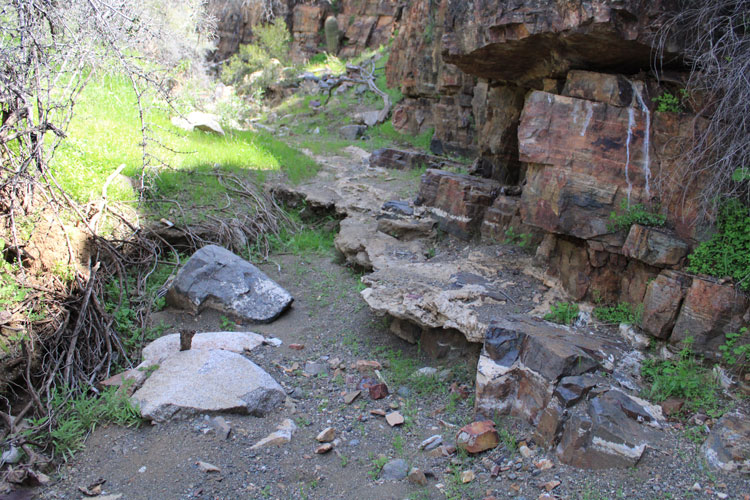
Today, at the location marked as "Old Camp" on the 1917 map, there is only a metal water trough and an older concrete one. Two water lines extend from the site up into a small side canyon where the spring that is shown on the topographic map was supposed to be located.
 |
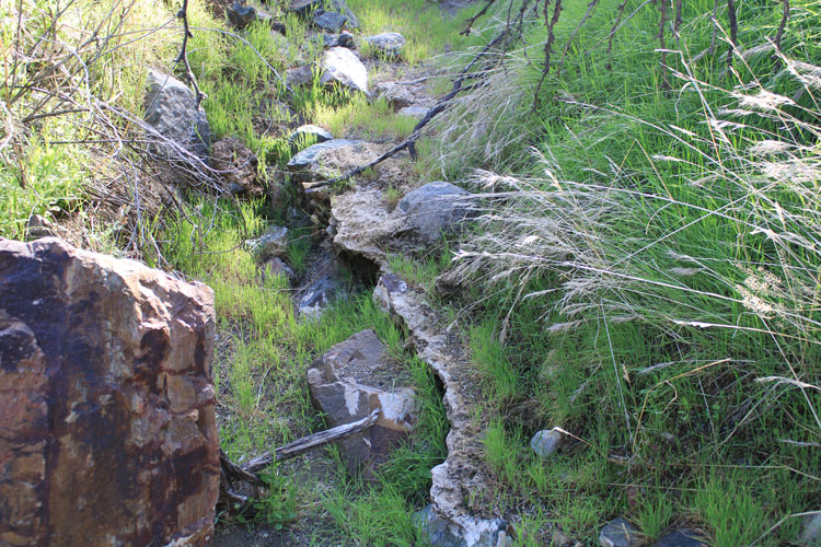
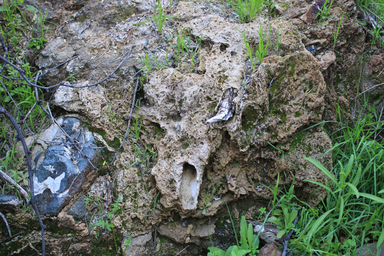
The thin, white rock layer is tufa, a spongy, calcium rich material that is deposited from spring water.
 |
Tree branches that have been caught up in the tufa are fossils in the making.
 |
This is the location that was indicated on the topographic map as the site of the spring. In early 2020, there was no water.
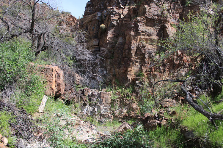 |
The view in one of the AGS photos nearly matches this location. It appears that at the time of the photo, the spring was productive. There are reports of photos having been taken at the mine operation in the 1920s. I do not know if the ones that I have copies of date back to that era or not.
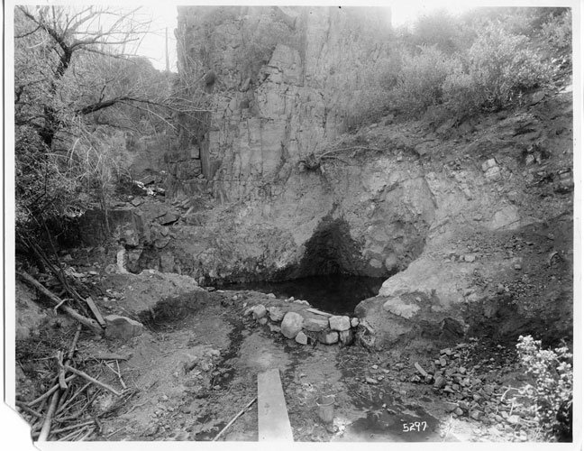 |
This is the view down onto the old spring from above. The concrete wall that defined the pool can be seen in the early photo.
 |
A small concrete dam that is dated 1946 is in place a few feet downstream from the old concrete structure above.
 |
When I was planning my route to the upper spring, the bed of the canyon looked to be too rough to follow. I decided to make a wide counter-clockwise approach and and come down to the green spot from above. Part way along that route, I came across several rock outlines and terraces, sheet metal, old barrel hoops, and pieces of broken glass. It was obviously a camp site. Had it been used by folks associated with the construction/maintenance of the old water line?
 |
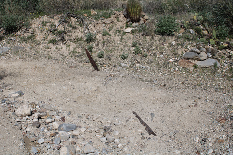
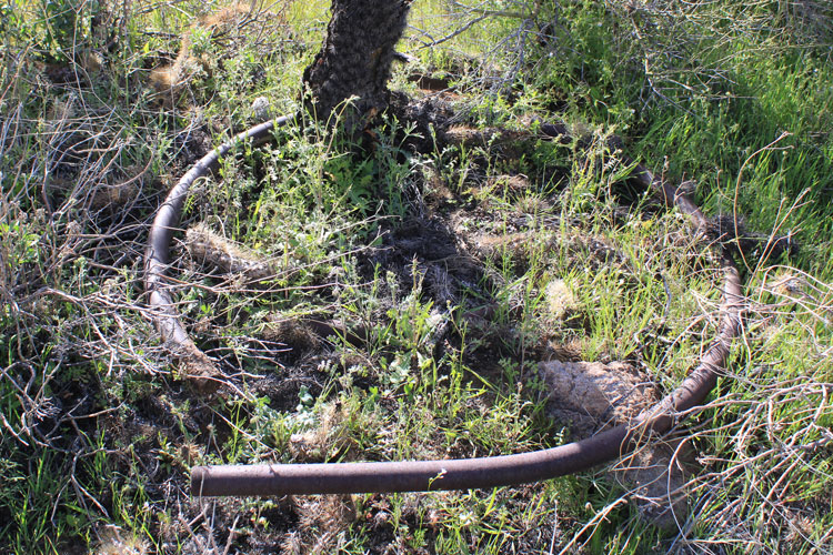
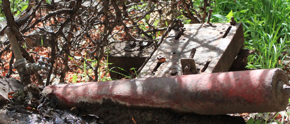
This was the first of several sections of pipe that I came across that were bent into a complete circle. Do not know how they were used.
 |
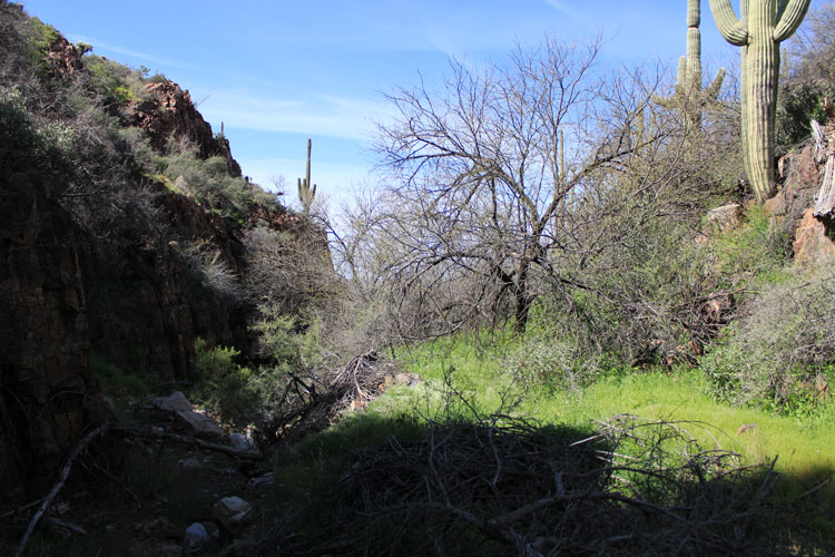
The trees and other plant growth had not leaved out in the upper canyon in early March. There was not a lot of green. This was the view from the south rim of the canyon.
 |
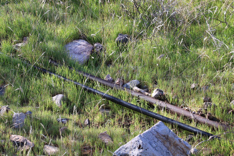
There was a lot of pipe down in the canyon!
 |
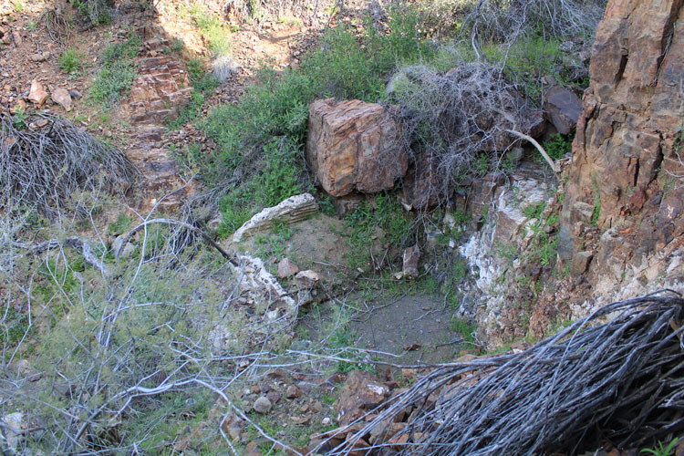
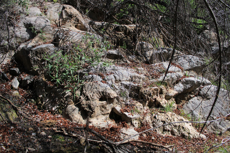
The slabs in this photo are concrete. I believe that they were once the vertical sides of a large spring box. The water that would have collected there would have been drained by the pipe. The 3" diameter pipe could have carried off quite a bit of water.
 |
The pipeline no longer extends down the canyon. There were several lengths of the pipe lying to the side.
 |
The boulders adjacent to the pipe were covered with a thick layer of tufa. Mini stalactites have formed where overflow has occurred. I believe that this was the location depicted in the photo of the man dipping water out of the spring.
So why were these springs not identified on the topographic maps? They were much larger and more developed than the Lower Spring.
 |
 |
There are indications that there has been a more modern use of the springs.
 |
The tufa deposits continue for a distance below the springs. At one time, there must have been quite a flow.
 |
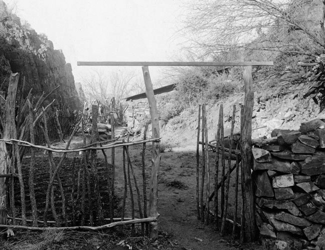
This view of the canyon looked familiar. It turns out that it was the view in another one of the unidentifed photos from the AGS. There was a cabin in that view. It is probably the cabin indicated on the 1917 map.
 |
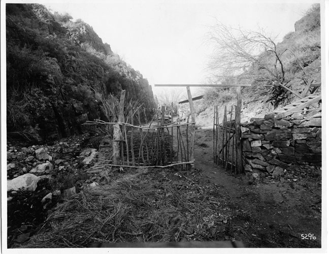 |
A closer view of the cabin in the old photo.
 |
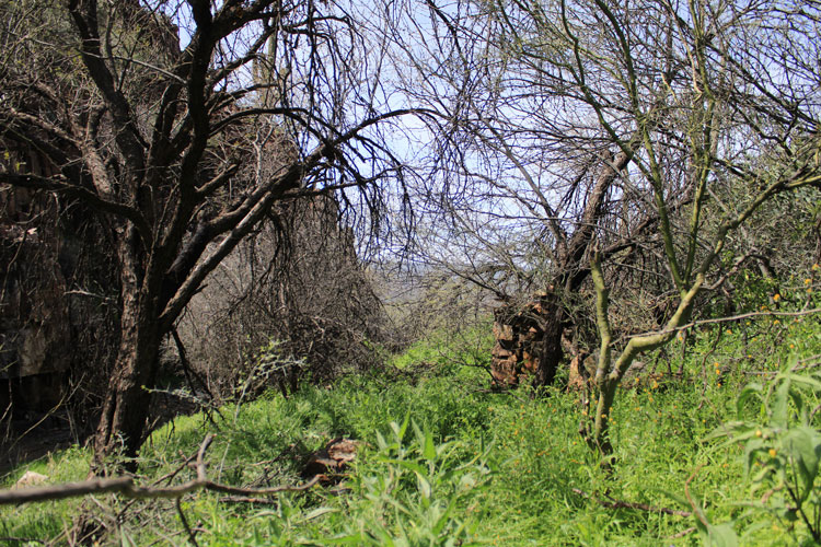
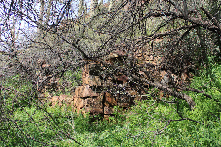
The old cabin has not completely faded away.
 |
 |
 |
 |
The frame of a wheelbarrow is partially buried nearby. Is this the one that is in the old photo?
 |
Below the cabin, it became necessary to abandon the bed of the canyon. There were places on the north side that looked to be part of a constructed path. The old map showed the "Troy Trail" passing near the upper spring. Was this a part of that trail?
 |
The view down the canyon toward the Lower Spring.
 |
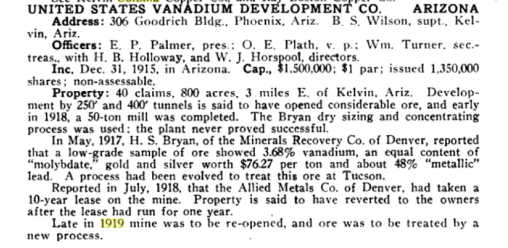
So how did the U.S. Vanadium Development operation turn out? Apparently not well. As noted in this Mines Register entry from 1919, the mill, which was central to the mine's operation, never worked out. A later 10 year lease was cancelled after 1 year. The mine may have re-opened and worked for a bit in the 1920s, but it never came anywhere close to meeting the expectations that were put forth when the development work began back in 1916. A headline of a 1916 Arizona Republican newspaper article read, "Arizona May Have The Largest Vanadium Mine In America". That was the lead into a description of the U.S. Vanadium Development mine. That forecast never came to be.
 |