 |
Fireflies
and Historic Sites--
Reasons to explore the Upper Eagle Creek Road
|
Eagle Creek is a major drainage in Greenlee County in far eastern Arizona. The perennial stream runs out of the White Mountains for approximately fifty miles to its confluence with the Gila River south of Morenci. The Upper Eagle Creek Road(FS 217) allows access to the upper reaches of that drainage. The 23 mile long gravel road turns west off the Coronado Trail(Highway 191) approximately 15 miles north of Morenci. Originally used by ranchers who had settled along the creek, the road today allows hunters, campers, and hikers, vehicular access to a remote and very scenic section of the Apache Sitgreaves National Forest.
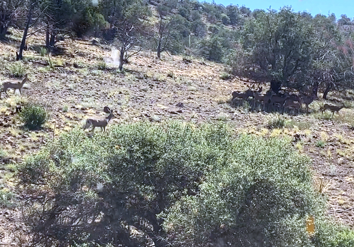
From the highway, it is approximately 9 miles down to the valley of Eagle Creek. The loss in elevation is from 6200' to approximately 4800'. The road is curvy, but with little traffic. We have seen quite a few deer along this section of the road. They were often in herds of 12 or more.
 |
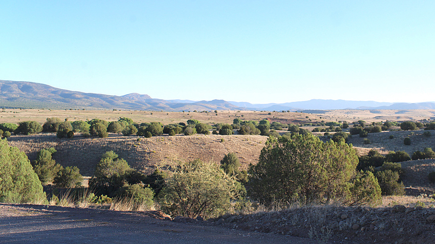
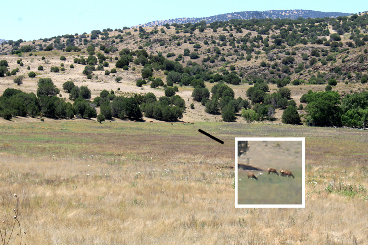
The rolling grasslands near Eagle Creek. The trees are primarily juniper. It is not unusual to see elk, pronghorn, and other wildlife grazing here.
 |
 |
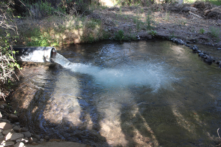
Big Dry Canyon is one of the side drainages to Eagle Creek that is crossed by the Upper Eagle Creek Road. There is almost always water flowing here. The Freeport McMoran Mining Company has several water wells operating nearby. It is those wells that are the source of the water in Big Dry Canyon. The well water is carried in large plastic pipes to the bed of Big Dry Canyon where it is dumped and allowed to flow downstream into Eagle Creek. Twenty miles downstream, the water is pumped from Eagle Creek and then transferred overland in another set of pipes to Morenci where it is used in the mining operations there.
 |
This is one of the water pipes that discharges into the bed of Big Dry Canyon upstream from the road crossing.
 |
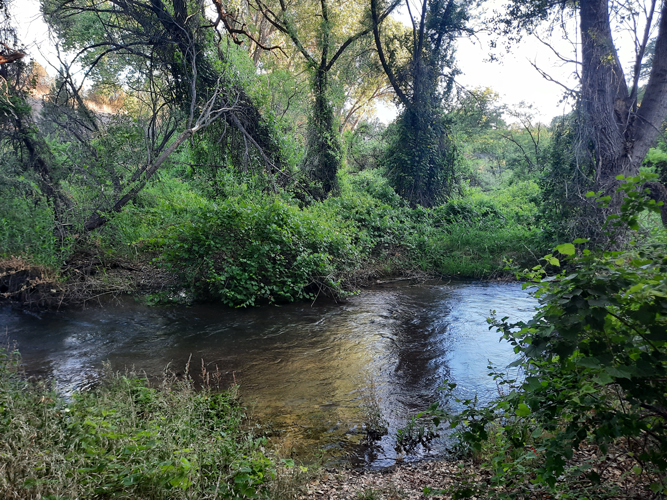
It is probably because of the steady flow of water in Big Dry Canyon, that the vegetation along the wash is very dense. There are many grape vines.
 |
The Fireflies:
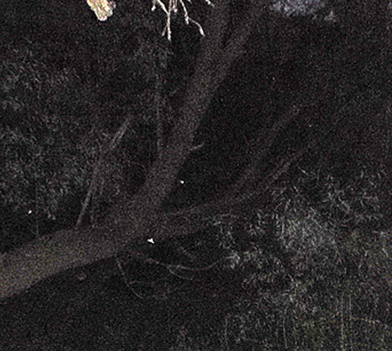
In July of 2022, I was in the area with a friend to drive several of the roads east from the Upper Eagle Creek Road. One night while we were camped in the area of Big Dry Canyon, we had fireflies appear out of the darkness just after sunset. Neither my friend or I had ever seen fireflies anywhere in Arizona before this. After the trip, a bit of research revealed that there are indeed fireflies here in the state, but they are really rare to experience.
In July of 2023, I returned to the same area to see if the bugs were still there. They were! Once again, the fireflies appeared shortly after sunset. The flashes of light lasted for perhaps a half hour and then disappeared. In neither instance, were there large swarms of the fireflies, perhaps only a half dozen or so at a time.
Even though we were better set up for taking photos our second time in the area, we still had not figured out how to get really good photos of the critters. These are what we were able to get.
 |
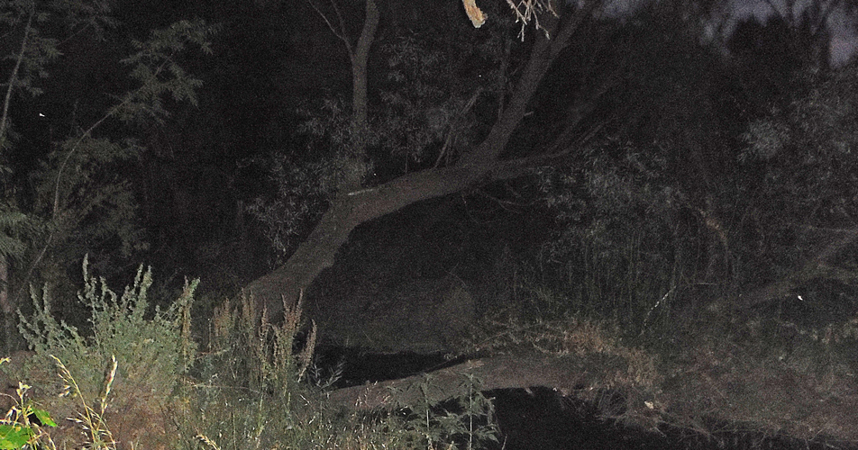 |
This is a short video of several of the fireflies in flight.
Elsewhere along the Upper Eagle Creek Road, there are several interesting historic sites:
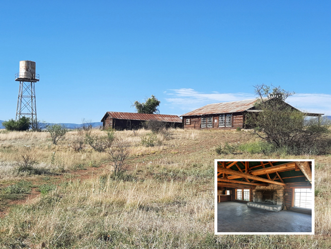
The Double Circle Ranch:
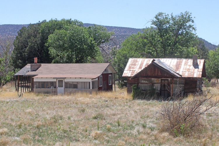
These log buildings are on an old ranch property that is now owned by the Forest Service and is open for the public to visit and explore. Once one of the largest ranches in the southwest, the Double Circle Ranch was homesteaded in the 1870s. Cattle drives on the ranch were reported to have involved 30,000 head of cattle. In the 1930s, when the Apaches discontinued grazing leases on their lands west of the ranch, the Double Circle cattle business was negatively affected. In an attempt to keep their operation viable, the ranch owners added a dude ranch component. An airstrip was built to fly in guests. The large building on the right was constructed to be used as an "event" center for the entertainment of those guests. The second building was used as a bunkhouse. The Forest Service took over ownership of the ranch in 1989. With the help of volunteers, rehabilitation work on the site was accomplished to bring it to its current state.
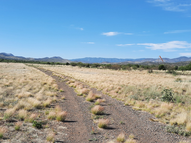
 |
This is the "runway" at AZ66, the airstrip just north of the buildings at the Double Circle Ranch. This airstrip is active and is open for the public to use.
 |
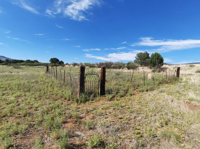
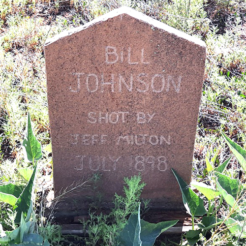
Also on the Double Circle Ranch site there is a small pioneer cemetery. The are 6 graves with markers that have names and dates. There are others without identification.
 |
Bill "Kid" Johnson was a train robber associated with the "Great Belen Train Robbery". Jeff Milton was a former Texas Ranger, and sheriff's deputy who had worked at various locations across Texas, New Mexico and Arizona. One version of the incident referred to here is that Milton had pursued the train robbers for the bounty offered by Wells Fargo. He made contact with the gang here at Eagle Creek. Johnson paid the ultimate price in the shootout that resulted.
 |
There are several other outbuildings at the ranch site. This structure, at one time, appears to have been used as a garage/repair shop.
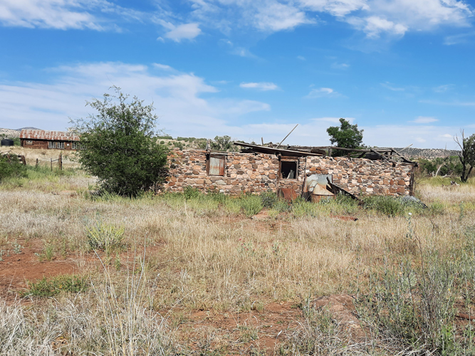 |
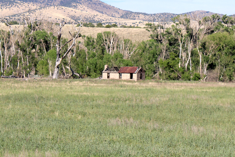
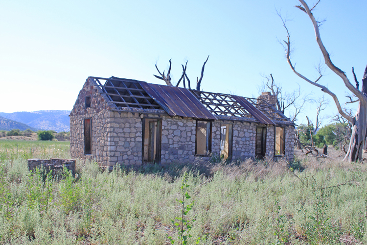
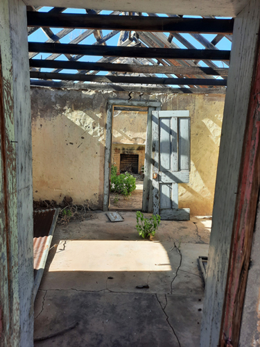
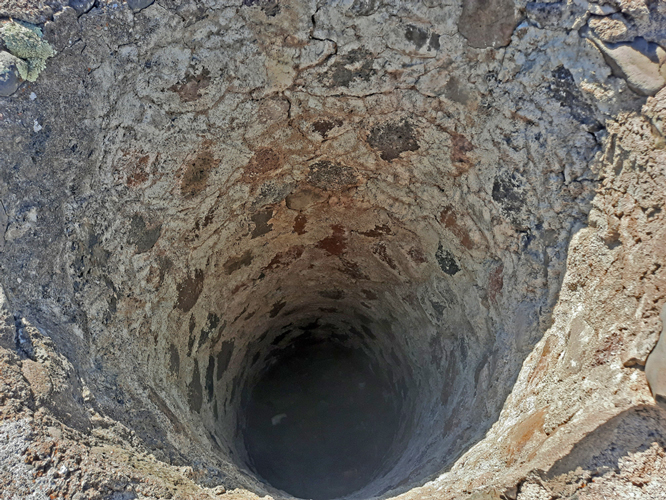
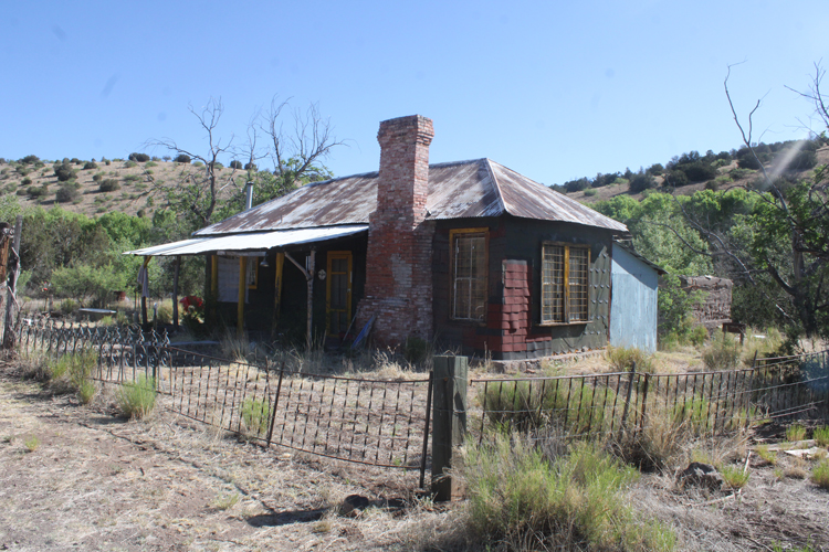
Across from an old abandoned pasture/farm field to the east is this structure.The stone house was constructed in the "shotgun" style with the rooms arranged in a line one behind the other. There was a hand dug well nearby.
 |
 |
 |
 |
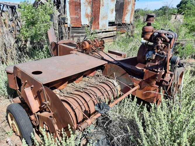
This old hay bailer indicates the crop that was likely grown in the abandoned field. The manufacturer of the machine was "New Holland".
 |
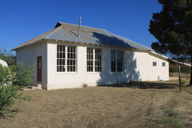
The Eagle Creek School:
The location of the Eagle Creek school is interesting. While the majority of the ranches are along the Eagle Creek Road, the school was set by itself approximately 1/2 mile west of the road. It was also located on the opposite side of Eagle Creek from where most of the students would have lived. There was not a bridge crossing to get to the school.
There is very little information available online to learn the history of the school. In 2010, it was reported that there were no school age children in Eagle Creek. In the past, there may have been as many as 30 students enrolled at the school. When the school was in session Kindergarten through 8th grade students were accommodated. The year "1931" is inscribed at the base of the flagpole. Another inscription of "1984" was placed in the concrete of a set of steps. It is obvious that the building is no longer being used as a school. Student desks were stacked outside. They appeared to have been there for a while.
 |
 |
 |
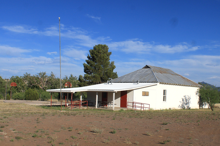
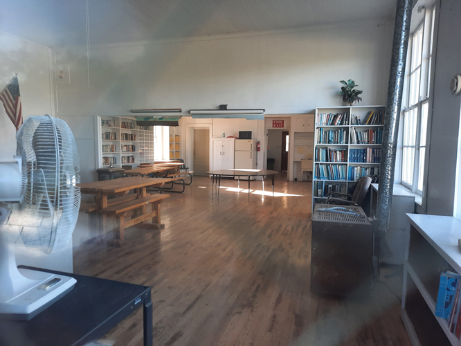
The interior of the school building has been very well maintained. The place may now serve as a community center. When the school was in operation, electrical service was provided by a generator. That machine has been removed. Portable generators are probably now brought in when needed.
 |
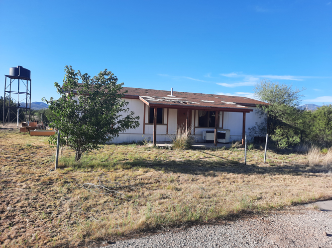
This double wide mobile home was likely used as housing for the teachers. All of the windows have been removed and the building is no longer suitable for occupancy.
 |
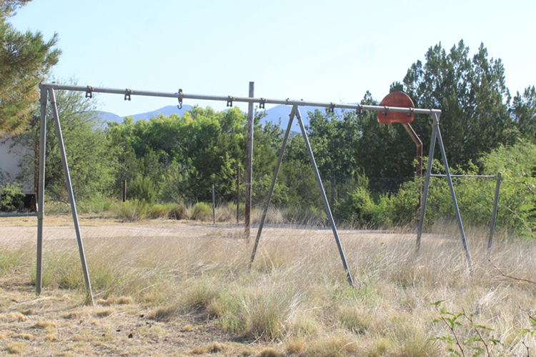
A remnant from the early days of the school..........
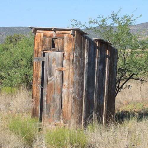 |
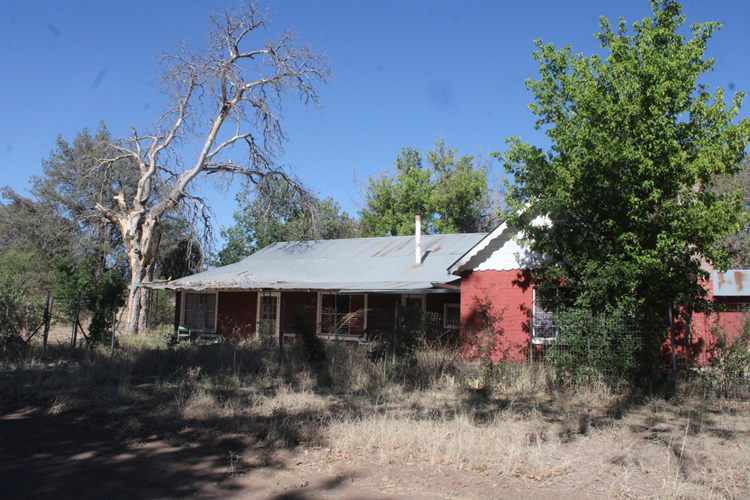
Maps of Upper Eagle Creek show a dozen or so parcels of private property along the road. Today, there are quite a few of those with houses that are sitting empty and they appear to have been so for a long time. Many of these are posted against trespassing.
 |
 |
 |
Other roads to exlore away from the Eagle Creek Road:
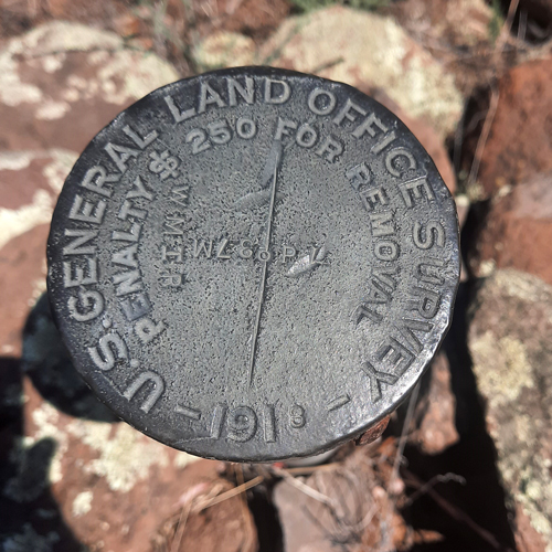
There are few opportunities to wander away from the Upper Eagle Creek road to the west. The boundary of the San Carlos Apache Reservation is close by, sometimes even coming up to the road itself. This old benchmark marks the reservation boundary. During the recent Covid years, the reservation was closed to non-tribal members. I do not know if the reservation roads west from Upper Eagle Creek have been re-opened. Many years ago, I drove from this area across to the Black River Pump Station. If the roads are open, permits are required to travel on the reservation. This bench mark indicates the boundary with the reservation. I believe that the WMIR, stands for the "White Mountain Indian Reservation", which was a very early name for the reservation.
 |
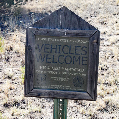
From the the Upper Eagle Creek Road headed east, there are several primitive roads that can be driven. The signs on those roads do not carry a message that is usually seen along backcountry roads.
 |
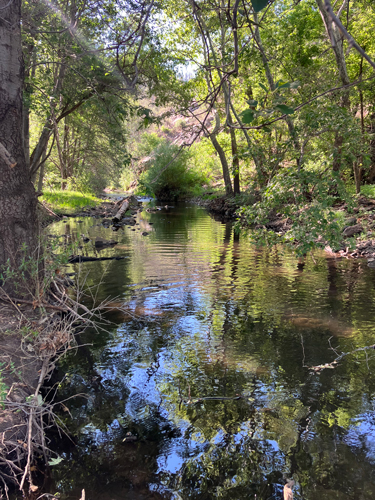
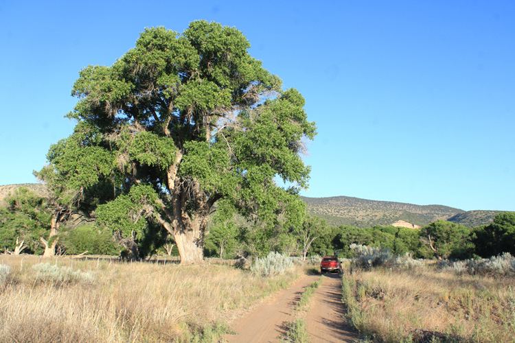
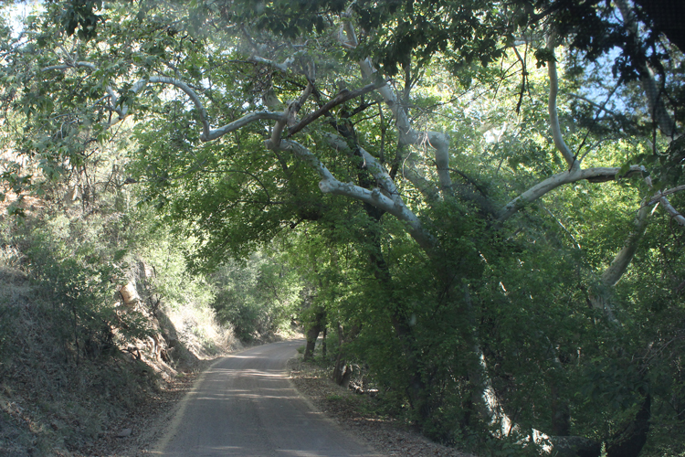
As the Eagle Creek Road makes its run to the north, there is a steady increase in elevation. The large cottonwood trees that are along the creek at the lower elevations are replaced at higher elevations by white barked sycamore trees.
 |
 |
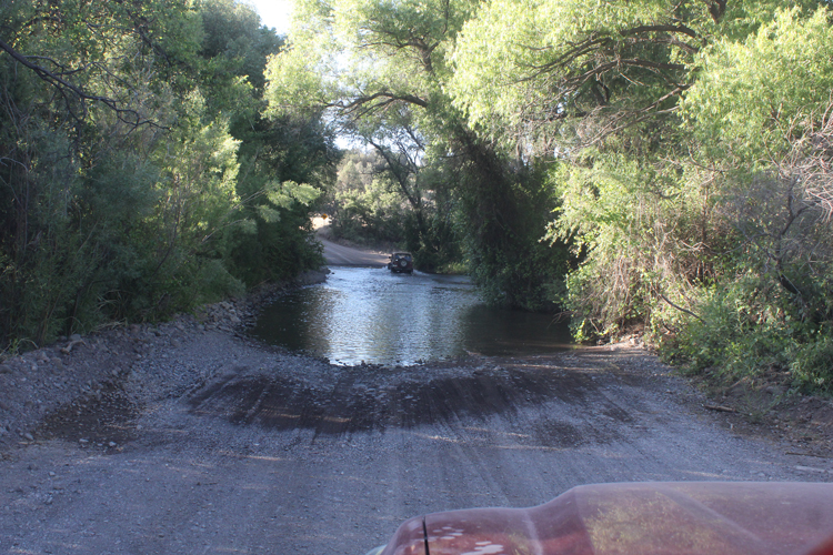
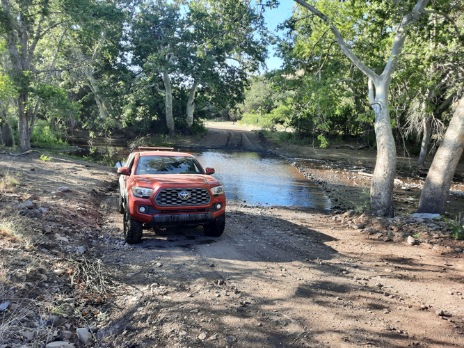
The road crosses Eagle Creek several times. There are no bridges. The creek is usually only a few inches to a foot deep, but can be much deeper.
 |
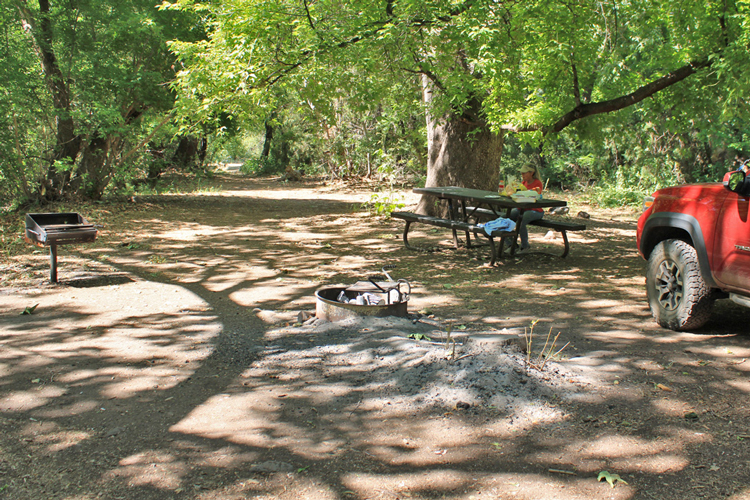
The Eagle Creek Road ends at the small Honeymoon Campground. There are tables, grills, fire rings and a pit toilet here.
 |
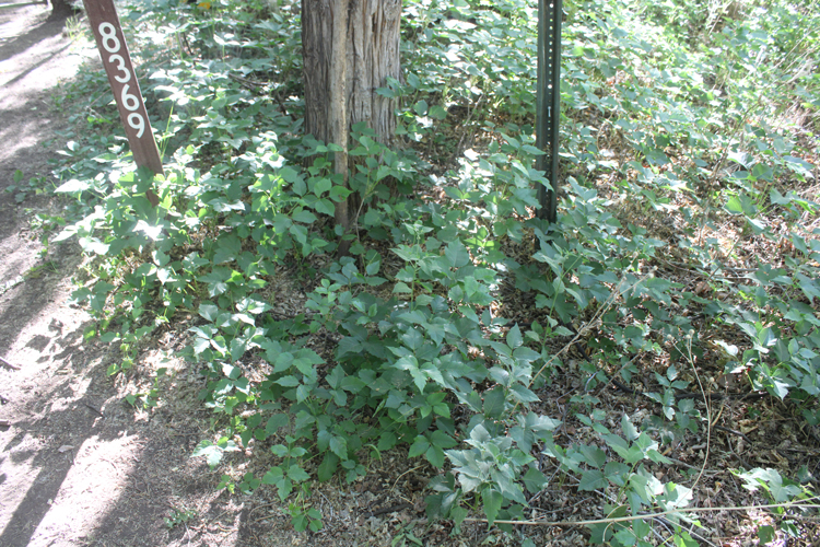
While the campground is at a very scenic location, it is not all paradise. These bushes are poison ivy. I have camped at the campground and have been able to avoid making contact with the plants. I do not know if it would have been the same experience if we had had pets or small children with us.
 |
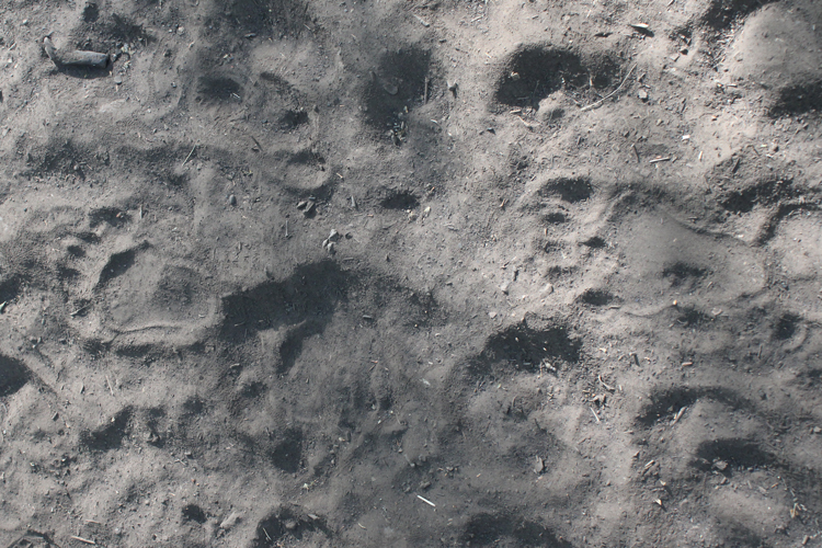
On our last trip along the Upper Eagle Creek Road in the summer of 2023, these bear tracks were spotted on the banks of the creek at the Honeymoon Campground.
 |