 |
Cliff-top
Ruins and other Points of Interest
on East Clear Creek near Red Hill in northern Arizona
|
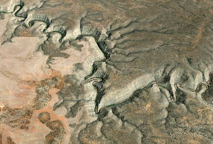
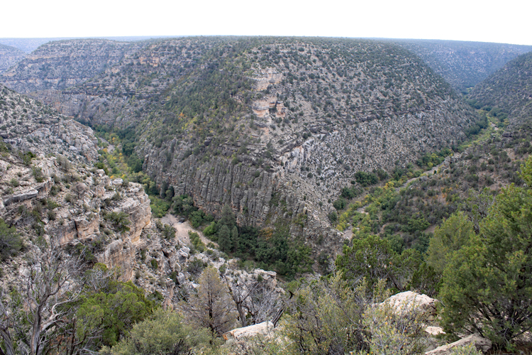
East Clear Creek is a major drainage that connects Blue Ridge Reservoir in the Mogollon Rim country of northern Arizona to the Little Colorado River at Winslow. For most of its 80 mile length, the creek is confined to a narrow, steep sided canyon. Access to the bottom of this canyon is limited
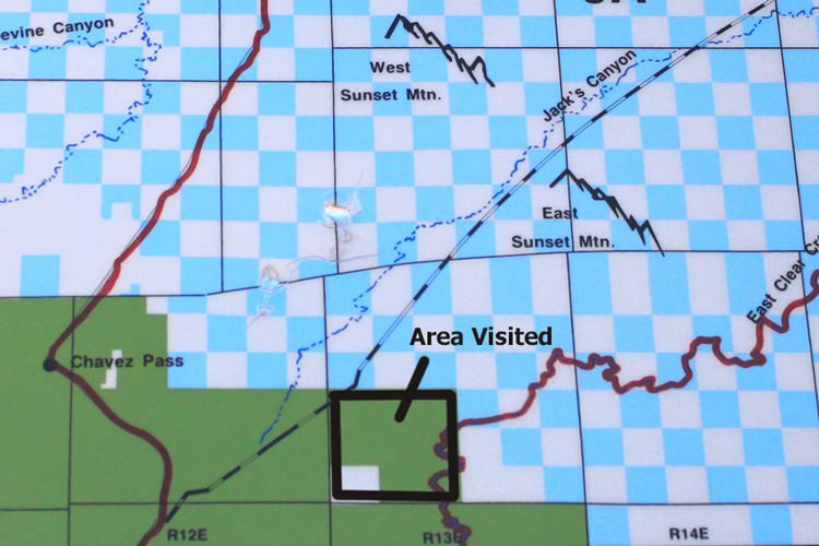
Approximately 30 miles southwest of Winslow, there are two foot trails that make their way to the bottom of the canyon. One of those was constructed in the 1940s to access a USGS stream gage. Our primary objective on this adventure was to walk that trail. However, as we wandered about, other interesting points of interest presented themselves.
 |
 |
 |
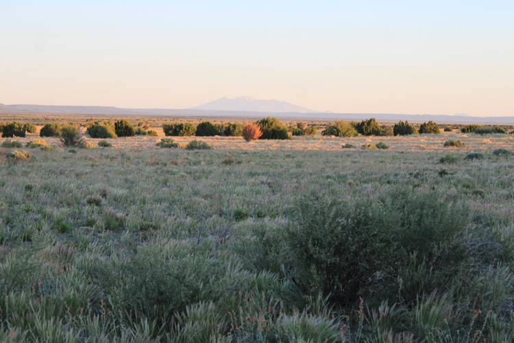
The vegetation near Red Hill is primarily open grassland with scattered stands of pinyon pine and juniper trees. Elevations are in the 6000' range. In this image, the San Francisco Peaks near Flagstaff are in view.
 |
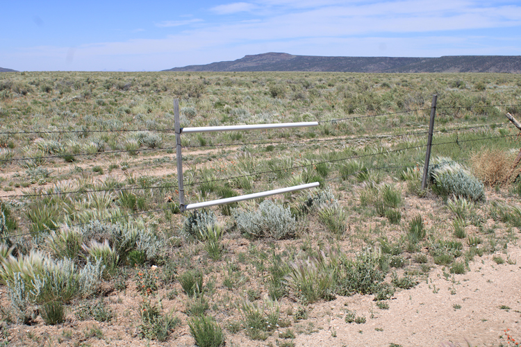
Lengths of PVC pipe strung on fence wires provide a way for deer, elk, and pronghorn to cross. Apparently, the deer and elk are able to jump the fence, while the pronghorn crawl under.
 |
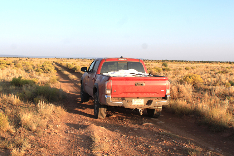
The roads near Red Hill are primitive. If wet, these trails could be challenging to navigate. These days, not all are open to vehicular travel. There is a Motor Vehicle Use plan in effect in this area.
 |
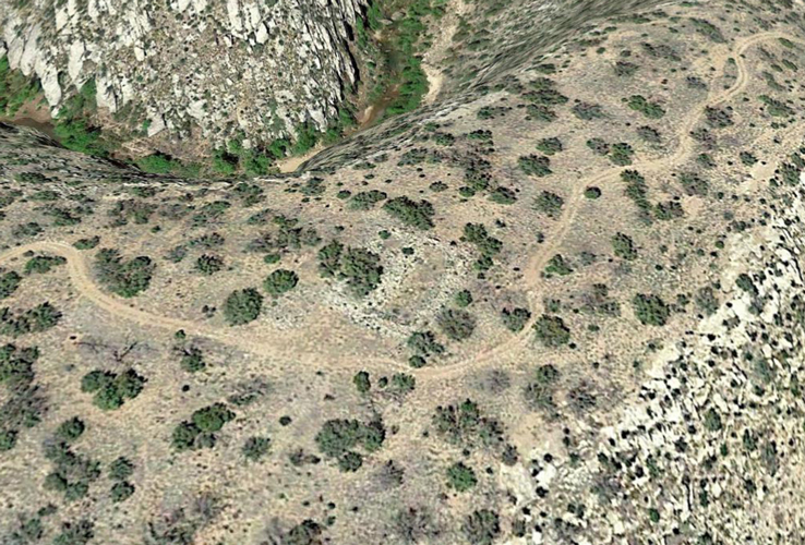
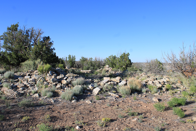
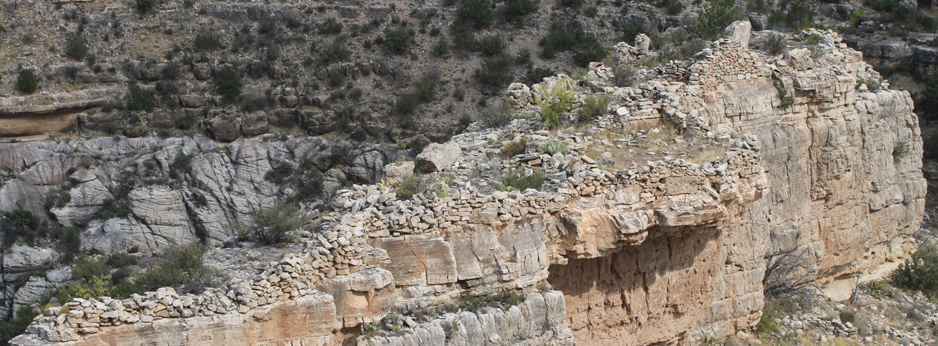
A Google Earth flyover prior to the trip revealed several rock walls northeast of Red Hill. Before making our way south to the gaging station trailhead, we diverted over to the rim to check these out. The road in this image is not open to vehicular travel. The walk from the nearest open road was approximately one mile.
 |
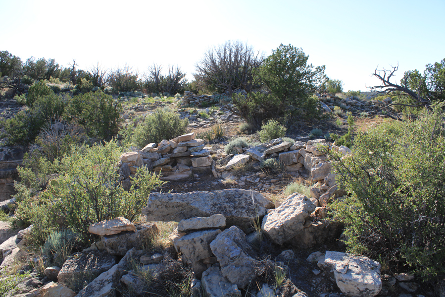
This is the ground level view of the walls in the image above. A tremendous amount of effort was involved in the construction of these.
 |
There were others nearby.
 |
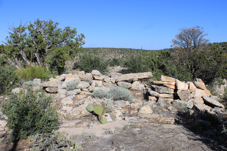 |
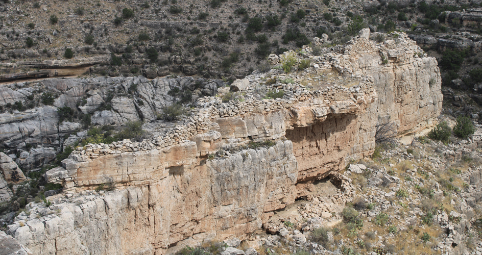
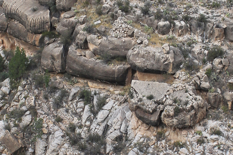
At the canyon rim, there is a large cliff top ruin. An article published in 2007 noted that structures similar to these were used by the native peoples who lived along the creek from 1150 to 1250 AD. These sites were thought to have been defensive fortifications that protected the inhabitants from the effects of conflict and invasion. The structures in East Clear Creek were abandoned sometime after 1250 AD. A pdf of the magazine article can be found here: Archaeology Southwest Magazine
 |
 |
 |
While at the cliff top ruins, we happened to notice an unnatural looking "zigzag" line on the opposite canyon wall. Through binoculars, it could be seen that this was a constructed trail that was obviously quite old. Our speculation is that the trail is newer than the ruins. Perhaps, it was created to provide access to the creek for the sheep that were being raised on the rim during the early 1900s.
 |
 |
 |
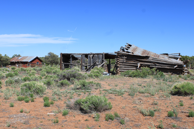
Near Red Hill, there is a section of private property at which there are several buildings that are fading away.
 |
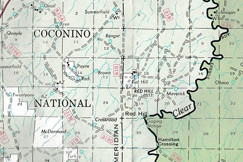
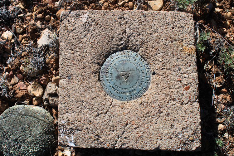
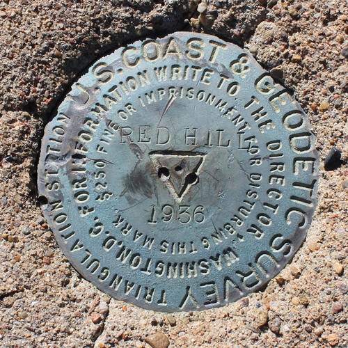
On our way south to the trailhead for the stream gage trail, we took a short hike to locate the benchmark identified on the maps as "Red Hill". The marker was set in 1936, Two reference disks that point to the benchmark were also found. It was interesting that the Red Hill Benchmark was not located on the actual peak named Red Hill.
 |
 |
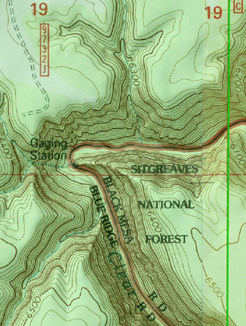
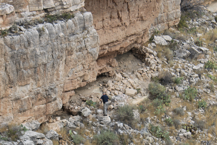
At the trailhead for the stream gage trail, this is the view down into Clear Creek. The sharp bend in the creek is visible in the Google Earth view of the canyon that appears at the top of this report. The stream gage was apparently in operation from the 1940s through at least the 1990s. In USGS reporting, the station was described as being located at: "Clear Creek below Willow Creek". It was designated as station: 09398500,
 |
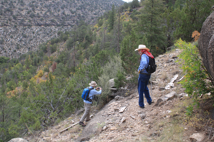
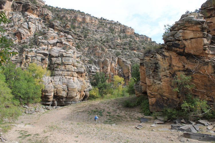
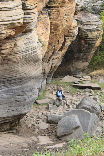
While the trailhead was easy to find, the trail down to the creek was not always obvious. It does not appear that a lot of trail maintenance occurs here. We were fortunate to have a trail app to use as we made our way.
 |
 |
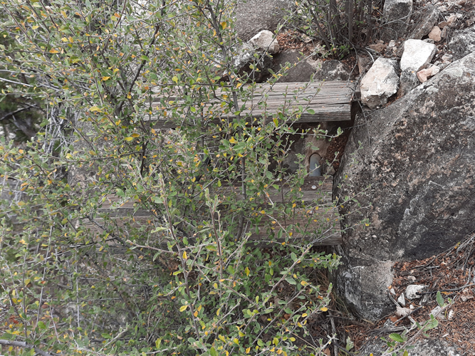
Had these wooden steps been put in place to make it easier for the gage operators to do their job?
 |
This is the most recent Google Earth image for the section of Clear Creek that is shown on maps as the location of the gage.
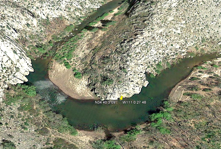 |
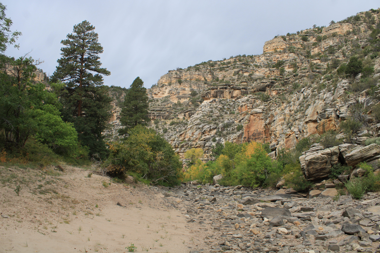
What we found at creek level was very different from the GE image ! The creek bed was bone dry! This was quite a surprise. The stream gage should have been within view here. It was not. We do not know if the gage has been removed, or whether its location was not accurately depicted on the maps that we had.
 |
Staining on the rocks would seem to indicate that there is often a deep pool at this location. We have since learned that it is not so unusual for this section of the creek to be dry.
 |
With no water in the creek bed, we considered wandering up the canyon to the Hamilton Crossing Trail and exiting there. Unfortunately, the weather was threatening, so that did not seem to be such a good idea. We returned to the rim the same way that we had come down.
 |
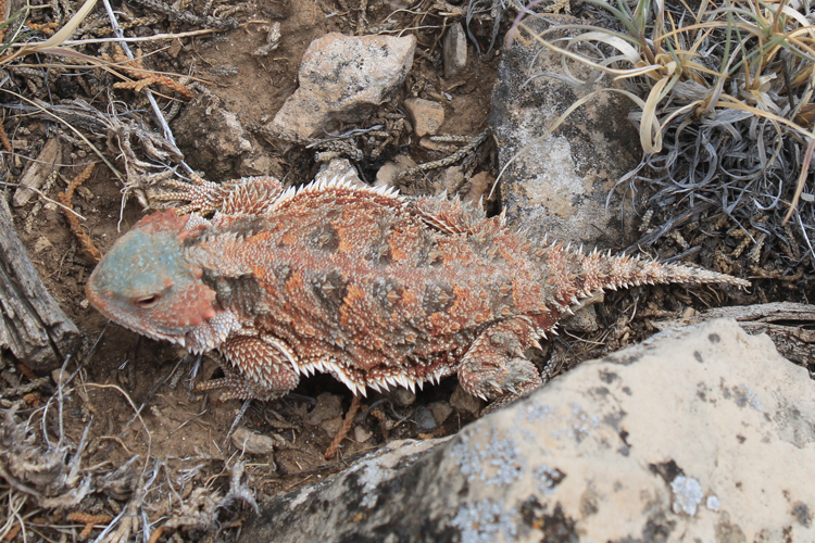
This interesting horned lizard was seen in the area.
 |
While we were disappointed at not being able to spend more time in the bottom of East Clear Creek Canyon, other places that we came across were just as interesting. We will return....
 |