 |
Two
Hohokam Era Petroglyph Sites
in the Samaniego Hills
|
In a 1993 archaeological report on a Hohokam community that had been located northwest of Tucson, a petroglyph site identified as "Inscription Hill" was described as having "the largest and most impressive concentration of petroglyphs in the study area and probably one of the densest groups of petroglyphs in Southern Arizona". 1225 individual petroglyphs had been logged at the site.
The report was titled "Between Desert and River Hohokam Settlement and Land Use in the Los Robles Community". Christian E. Downum was the author. The information contained in the report came from field surveys that had been done along Los Robles Wash in the Lower Santa Cruz River Basin approximately 6 miles south of Picacho Peak.
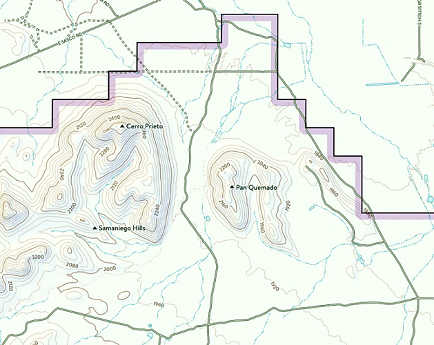
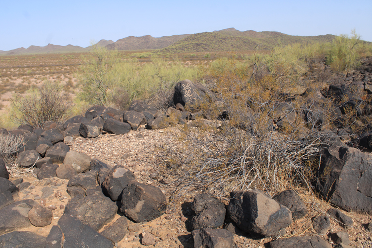
I thought that it would be interesting to try and locate Inscription Hill and another petroglyph site that was close by to see what was there. In the Downum report, the locations were described as being near "Pan Quemado", a volcanic landmark In the Samaniego Hills. Today, this area is in the northeast corner of Ironwood Forest National Monument.
 |
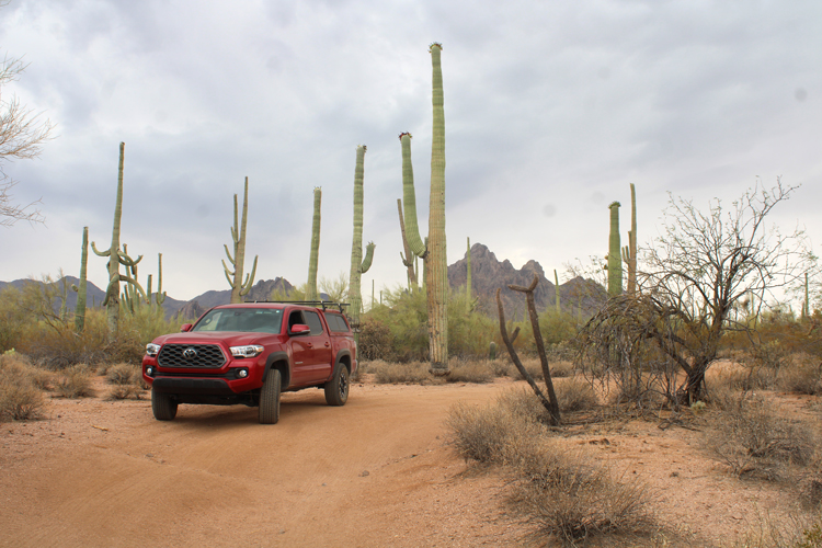
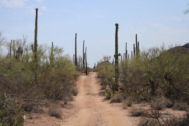
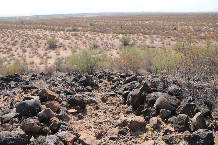
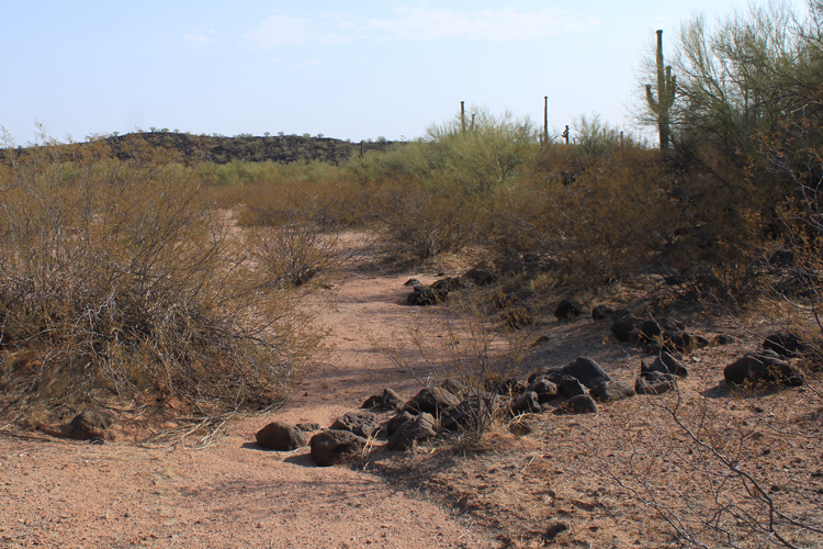
My first attempt at accessing the area near Pan Quemado was not successful. The private lands south of East Sasco Road to the National Monument boundary were all posted against entry. It was necessary to drive around the Samaniego HIlls and approach the area from the southwest There were multiple roads to choose from to travel to the northeast corner of the Monument. The route that I took was very scenic. No private property was encountered.
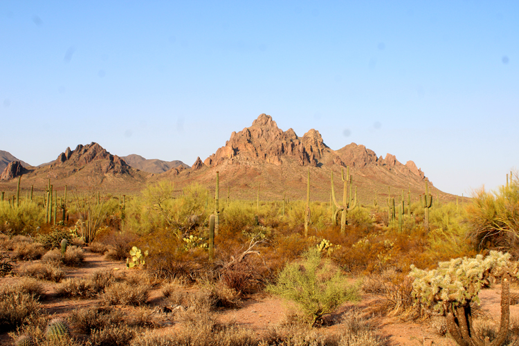
This is Ragged Top Peak. It is along the way to the petroglyphs.
 |
The roads across the monument are primitive, but under normal conditions, should be navigable by most high clearance vehicles.
 |
 |
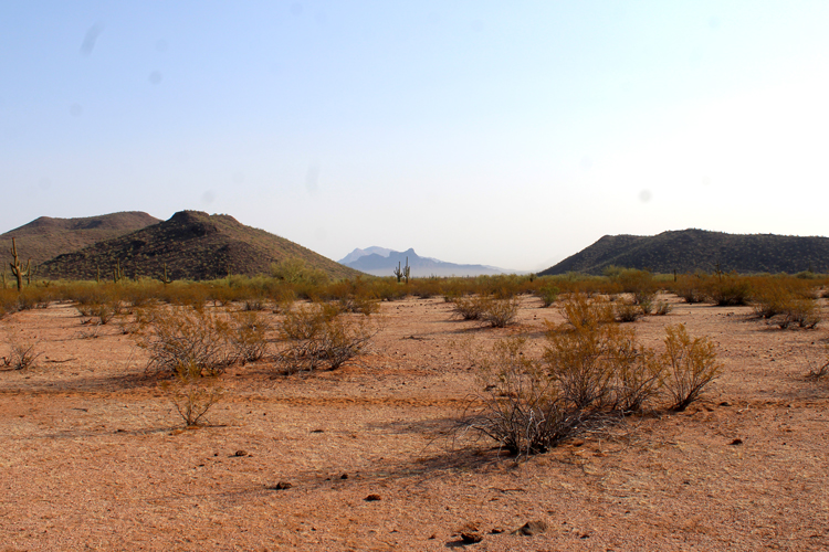
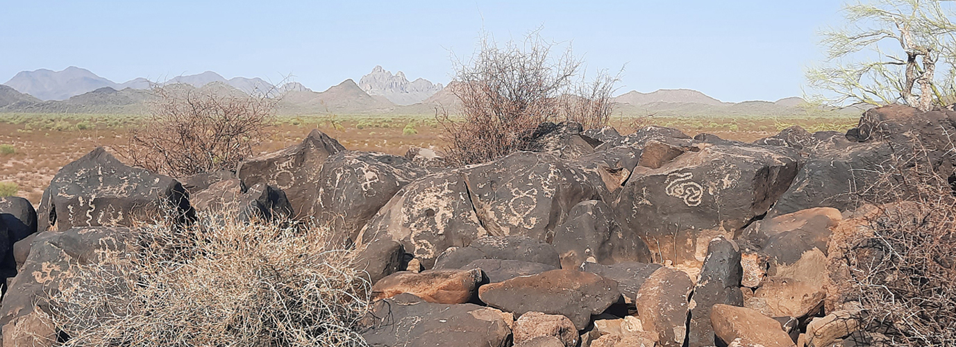
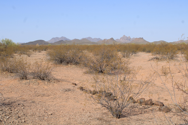
In this photo, Cerro Prieto is on the left and Pan Quemado is to the right. Picacho Peak and Newman Peak are in the distance.
 |
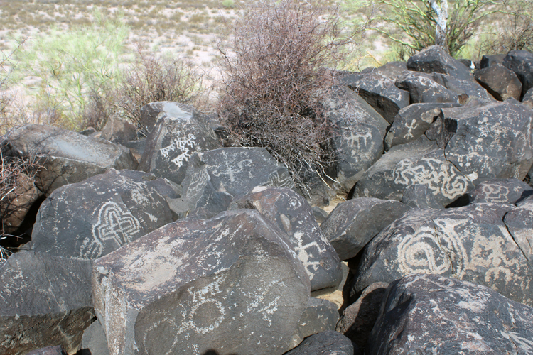
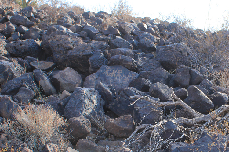
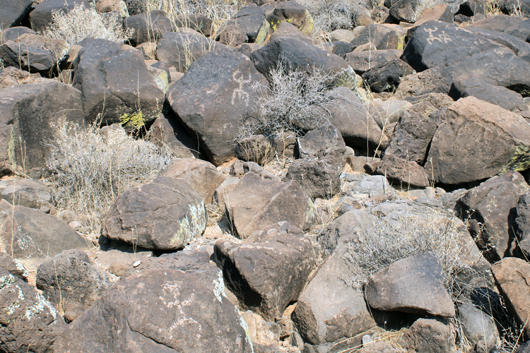
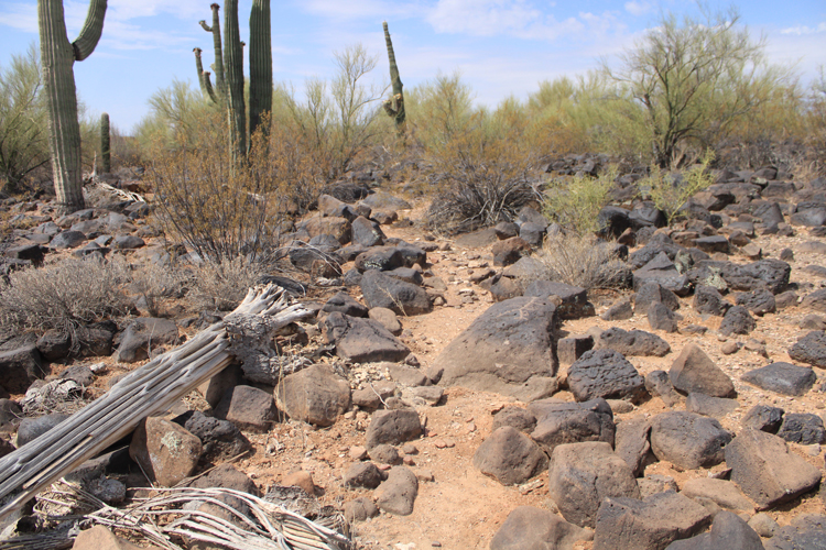
Inscription Hill is essentially a very large pile of heavily patinated volcanic boulders. While the majority of the petroglyphs are located at the summit, there are quite a few to be found on the lower south facing slopes.
 |
 |
This trail, which leads to the summit, is described in the 1993 report. It is thought that the trail is prehistoric in age. The path was cleared by removing loose surface rocks down to bedrock and then stacking those stones to mark the edges of the path.
 |
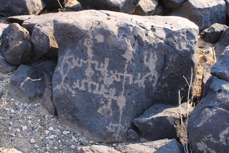
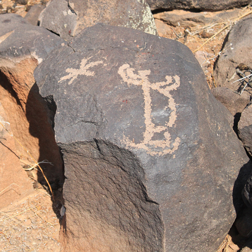
Petroglyphs almost completely cover the largest boulders on the summit of Inscription Hill. The photo at the top of this report is a another view of the summit petroglyphs.
 |
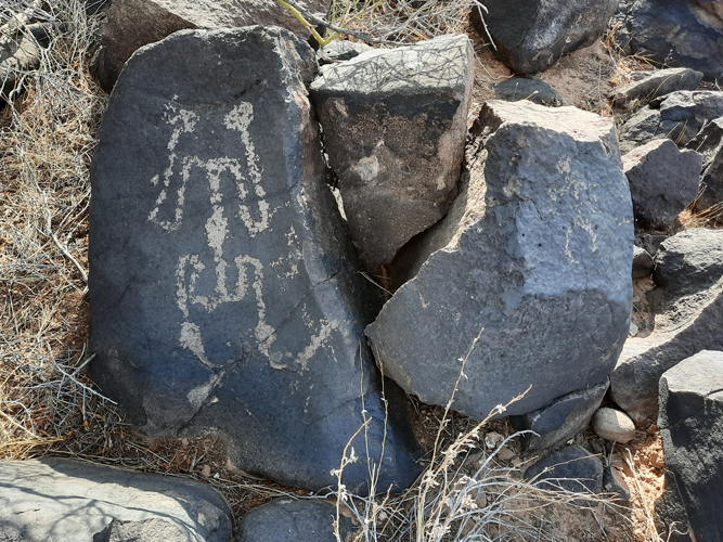
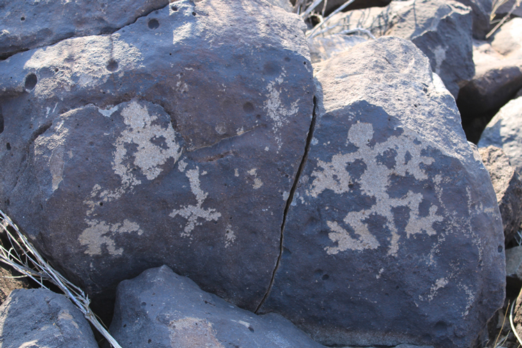
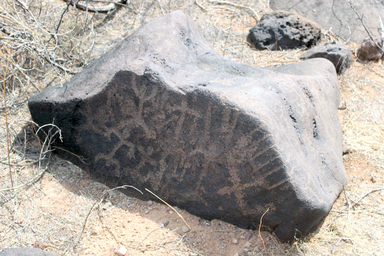
According to the 1993 report, some of the petroglyphs found here are kind of unique to this area. Figures like these, with exaggerated hands and feet, are not commonly seen elsewhere.
 |
 |
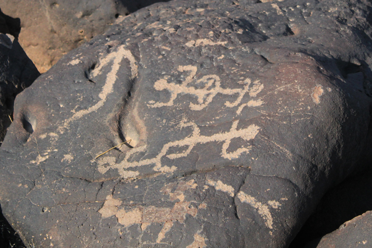
Author Dowden described this petroglyph as "unusual". The figure is nearly 2' tall.
|
There were several rings of rocks constructed near the summit petroglyphs. Their function was not addressed in the archaeological report.
 |
If petroglyphs tell a story, what is the story here? Pairs of other similar figures appear elsewhere on Inscription Hil. The archaeological report did not address these figures.
 |
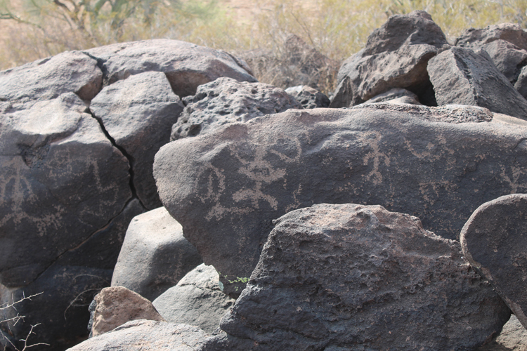 |
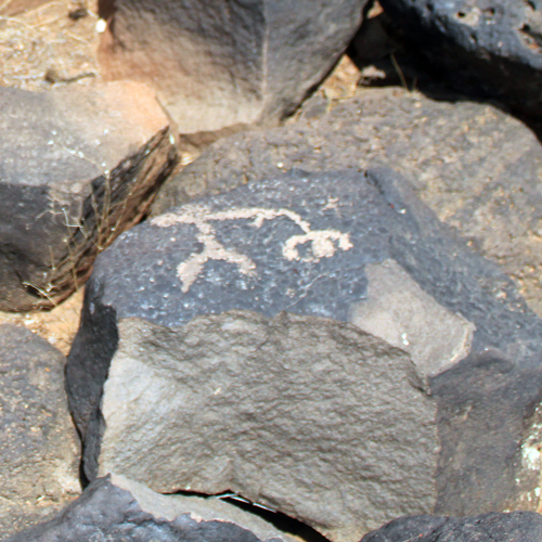
On the sides of the hill, there are many solitary figures. With their arms waving in the air, my first thoughts were that these were guards warning against instrusion......
 |
Several rock alignments can be found on the west side of Inscription Hill. It is thought that some of these were check dams used to control the flow of runoff.
 |
Other alignments appear to have been used to divert the flow of water into the small drainages.
 |
At the northern end of Inscription Hill, there is another prehistoric trail segment. A few petroglyphs were located nearby. There were supposed to be bedrock mortars at this end of the hill, but I did not locate those. This trail points to another petroglyph location that is not too far away.
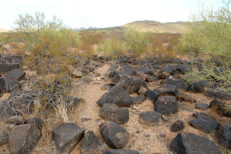 |
The second petroglyph site that I visited near Inscription HIll was described in 1993 as: "the second largest petroglyph locality in the area(at least 600 elements in three loci}". As at Inscription Hill, there are prehistoric trail segments. This is one. The site is supposed to extend up the hillside from here. I did not have the time on my visit to explore those upper areas. Many of the petroglyphs may be located there.
 |
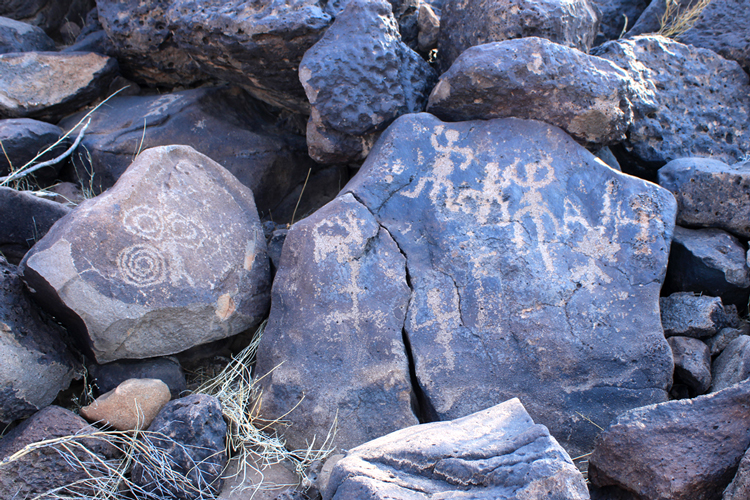
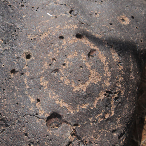
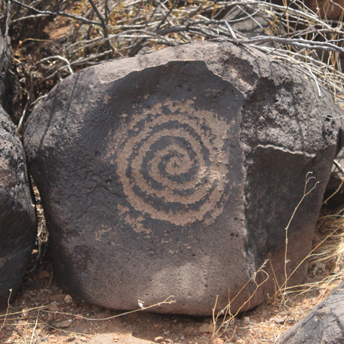
At the second site there were several geometric designs like these concentric circles and a really neat spiral that was quite large.
 |
 |
As at Inscription Hill, there are depictions of animals. Was this a representation of a deer?
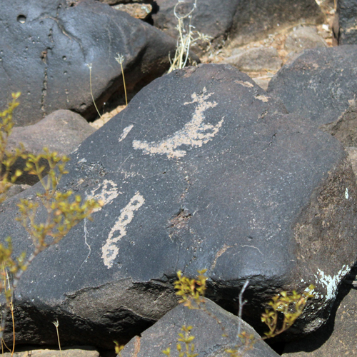 |
An animal with paws?....perhaps this is a depiction of a pregnant dog?
 |
As at Inscription Hill, there are many human like figures at this site.
 |
This petroglyph does not suggest a peaceful activity.....
 |
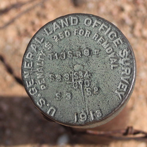
While wandering around the area, I came across this interesting survey marker. It marks the intersection of four section corners. The disc was installed in 1913. Those early surveyors would have had to know about the nearby Hohokam sites. I wonder what they saw.....
 |